
Greenville County ZIP Code Directory Coverage
The County's GIS street-centerline documentation supplies the most complete local list of postal labels that touch Greenville County. It describes ZIPL and ZIPR values on County street segments. That is a routing reference, not a promise that every point with a postal-city name lies within one municipal border. The table includes delivery areas, PO Box-only labels, unique labels, and cross-border edge segments. Greenville County postal labels are shown as documented by the County, while area notes retain the cautious County wording.
| ZIP | Areas Covered | Post Office | Notes |
|---|---|---|---|
| 28790 | Northern-edge street segments | Zirconia | Cross-border County map edge. |
| 29322 | Northern and northeast fringe | Campobello | North-region grouping. |
| 29356 | Northern and northeast fringe | Landrum | North-region grouping. |
| 29601 | Central Greenville postal area | Greenville | Postal area, not a City-limit finding. |
| 29602 | PO Box service | Greenville | PO Box-only. |
| 29603 | PO Box service | Greenville | PO Box-only. |
| 29604 | PO Box service | Greenville | PO Box-only. |
| 29605 | Central grouping | Greenville | Central-region grouping. |
| 29606 | PO Box service | Greenville | PO Box-only. |
| 29607 | Central grouping | Greenville | Boundary relationship documented with 29615. |
| 29609 | Central grouping | Greenville | Central-region grouping. |
| 29610 | PO Box service | Greenville | PO Box-only. |
| 29611 | Central grouping | Greenville | Central-region grouping. |
| 29612 | PO Box service | Greenville | PO Box-only. |
| 29613 | Unique postal label | Greenville | Not general household delivery. |
| 29614 | Unique postal label | Greenville | Not general household delivery. |
| 29615 | Northeast grouping | Greenville | Boundary relationship documented with 29607. |
| 29616 | PO Box service | Greenville | PO Box-only. |
| 29617 | Central grouping | Greenville | Central-region grouping. |
| 29627 | Southwest County portion | Belton | Southwest-region grouping. |
| 29635 | North grouping | Cleveland | North-region grouping. |
| 29636 | PO Box service | Conestee | PO Box-only. |
| 29644 | Southeast grouping | Fountain Inn | Southeast-region grouping. |
| 29645 | Southwest County portion | Gray Court | Southwest-region grouping. |
| 29650 | Northeast grouping | Greer | Northeast-region grouping. |
| 29651 | Northeast grouping | Greer | Northeast-region grouping. |
| 29652 | PO Box service | Greer | PO Box-only. |
| 29654 | Southwest County portion | Honea Path | Southwest-region grouping. |
| 29661 | North grouping | Marietta | North-region grouping. |
| 29662 | Southeast grouping | Mauldin | Southeast-region grouping. |
| 29669 | Southwest County portion | Pelzer | Southwest-region grouping. |
| 29673 | Southwest County portion | Piedmont | Southwest-region grouping. |
| 29680 | Southeast grouping | Simpsonville | Southeast-region grouping. |
| 29681 | Southeast grouping | Simpsonville | Southeast-region grouping. |
| 29683 | PO Box service | Slater | PO Box-only. |
| 29687 | Northeast grouping | Taylors | Northeast-region grouping. |
| 29688 | Northern and northeast delivery segments | Tigerville | Street-segment routing context. |
| 29690 | North grouping | Travelers Rest | North-region grouping. |
| 29698 | Unique postal label | Greenville | Not general household delivery. |
The County ZIP layer documentation is the source shown in this image.
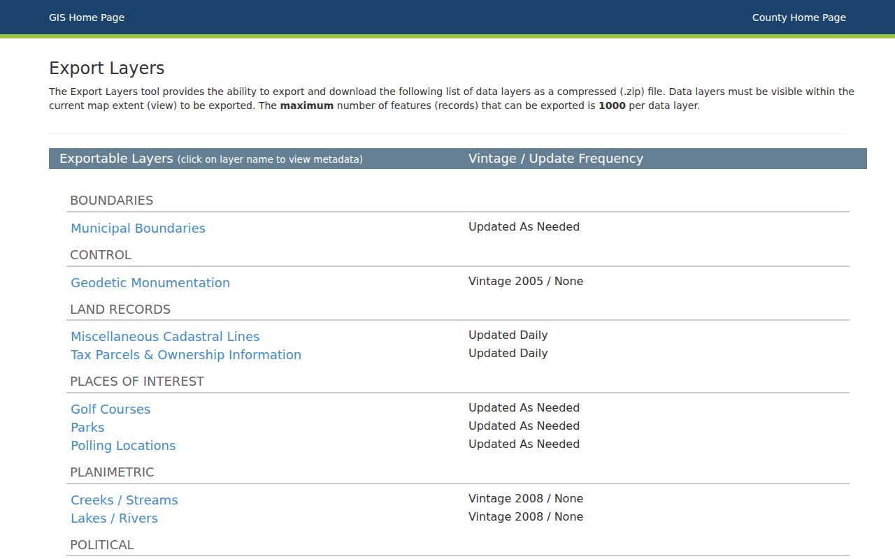
The layer list is broad because a County street segment can meet a postal or cross-border edge value.
Greenville County Postal Regions
The Greenville County 2019 Comprehensive Plan groups common delivery labels into broad orientation regions. North includes 29635, 29661, 29690, 29356, and 29322. Northeast includes 29651, 29687, 29650, and 29615. Central includes 29617, 29609, 29611, 29607, and 29605. Southeast includes 29662, 29681, 29680, and 29644. Southwest includes 29673, 29669, 29627, 29654, and 29645.
Those Greenville County groups help a reader place a mailing label within the County's broad geography. They do not replace the street-level geocoder or establish municipal jurisdiction. The full County street-centerline table is wider because it includes postal-edge values such as Zirconia, Campobello, and Landrum.
Greenville County Delivery Exceptions
Several Greenville County labels require special care. The County table identifies 29602, 29603, 29604, 29606, 29610, 29612, and 29616 as PO Box-only labels. It also identifies 29613, 29614, and 29698 as unique labels rather than general household delivery. Conestee 29636, Greer 29652, and Slater 29683 are also marked as PO Box-only. A valid postal label therefore cannot by itself identify a general delivery neighborhood.
Do not infer a Greenville County residential block from a PO Box-only or unique label. Use a complete address with the postal tool, then examine the County's mapping or parcel route if the question concerns physical location. No authoritative County ZIP realignment year or per-label population figure was verified, so none is assumed here.
Note: Postal labels identify mail routing, while parcel and City boundaries come from different County or City records.
Greenville County ZIP Geocoder Fields
The Greenville County address-aware GeocodeServer is the local tool that accepts a ZIP input. It permits optional Street or Intersection text, optional ZIP text of up to ten characters, or optional Full Address text of up to 150 characters. Its candidate response includes a score, matched address, address type, address number, side, prefix direction, and related geocoding fields. The Real Property Search does not have a ZIP field, so it should not be presented as a Countywide postal-label search.
| Street or Intersection | Optional text input for a street or intersection. |
|---|---|
| ZIP | Optional text input, up to ten characters. |
| Full Address | Optional text input, up to 150 characters. |
| Candidate output | Score, matched address, address type, number, side, prefix direction, and related fields. |
The Greenville County address geocoder is shown in this source image.
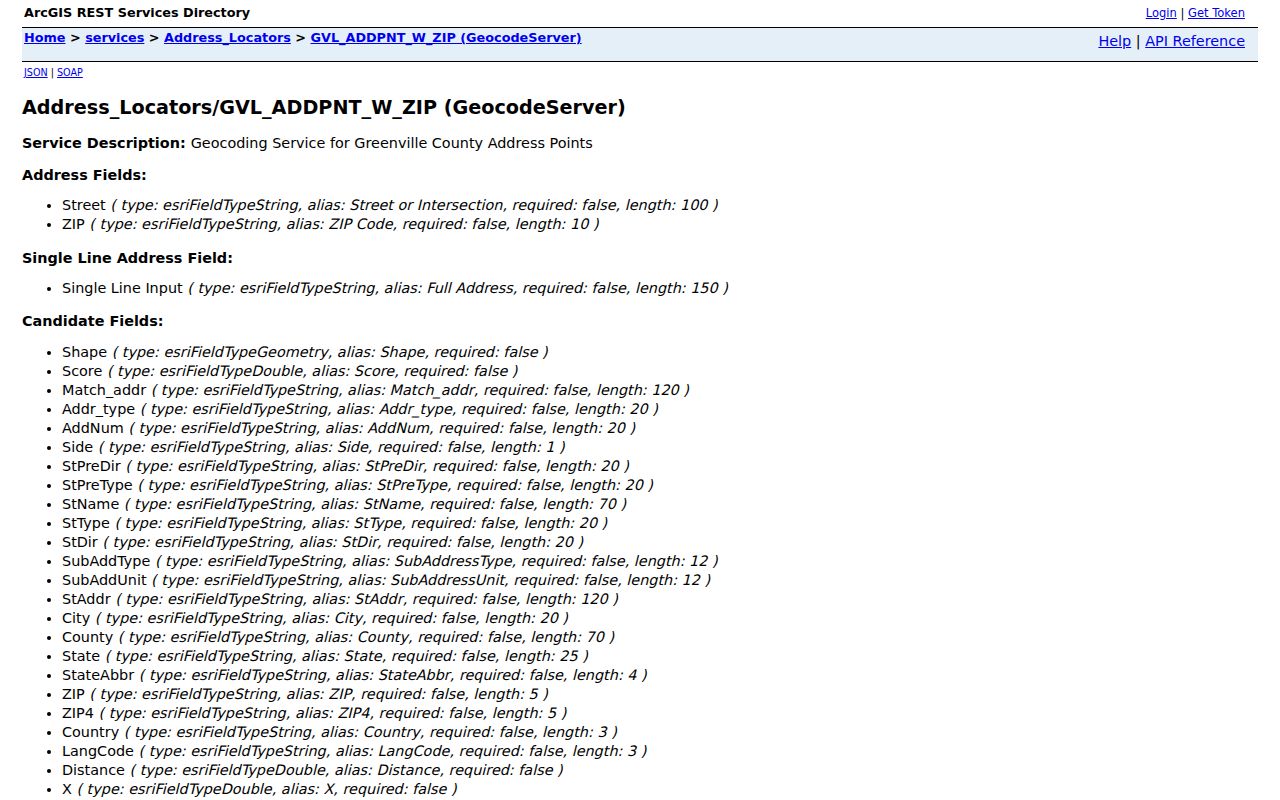
Its role is to match and map an address. It does not return a postal-area roster of people or parcel owners.
Greenville County ZIP Parcel Route
Once the Greenville County geocoder finds an address, County Maps or the property tools can turn the address into a parcel question. Select the address or street result, open the property report, and note the PIN, location or situs, owner mailing address, deed and plat book/page references, legal description, and jurisdiction. A situs is the parcel's physical location. A mailing address is a correspondence destination. A legal description is the tract, lot, block, or metes-and-bounds reference in the recorded document. Those terms can match, but they are not interchangeable.
Complete address to Greenville County geocoder to County map result to property report to PIN and deed or plat reference is the local route. The property report is not a title search, appraisal, survey, or zoning verification. It can provide the bridge to the Register of Deeds, where a recorded instrument and legal description can be checked.
The County property-address information is the source shown here.
The County assigns property addresses through E-911, while the map and record systems answer different parcel and postal questions.
Finding Greenville County Residents by ZIP
A Greenville County postal label can narrow one address, but it is not a public list of everyone within that label. Greenville County Real Property Search has no ZIP field and does not offer a ZIP-wide owner report. The voter system is a self-lookup that requires county, name, date of birth, and the last four digits of a Social Security number, not an open street or postal-area browser. Use the address method to identify the responsible parcel record, then keep any conclusion limited to what that record actually shows.
- Verify the complete mailing address with the postal lookup rather than relying on a postal-city name alone.
- Enter the address, street or intersection, and optional postal text in the County geocoder when an address match is needed.
- Open the resulting County map or parcel result and record the PIN and location or situs.
- Use the property report for its parcel, deed, and administrative leads, without treating it as a household roster.
- Move to the Register of Deeds only when a recorded land document or legal description is needed for the specific parcel.
When the postal area has been narrowed to a named street, the Greenville County by-street directory has the fuller address-to-parcel workflow. For a single person, use an appropriate official record rather than trying to derive a name from an entire delivery area.
Greenville County Postal Boundary Quirk
The Greenville County GIS guide gives a concrete local warning: one intersection can return results in both 29607 and 29615. That result shows why postal geography is not an unbroken neighborhood or City boundary. A postal label can be correct for mail while the physical location is governed by a different City, County, service, zoning, or parcel layer. The geocoder and County Maps should therefore be used after postal verification whenever a jurisdictional answer matters.
A static County ZIP map is useful as a visual reference, but it is not a land survey or proof of an incorporated City boundary. Keep the selected map layer and the date of the search with any research note, especially near a boundary.
Greenville County Postal Labels and City Limits
A Greenville County postal city on an address does not prove City-of-Greenville jurisdiction. The County plan's central, northeast, southeast, southwest, and north postal groups extend across a wider set of County places. The County table also includes Greer, Simpsonville, Mauldin, Travelers Rest, Fountain Inn, Piedmont, Taylors, and other postal labels. City annexation or service questions must be checked separately from the postal address and separately from County parcel administration.
- ZIP and ZIP+4
- A ZIP identifies a postal delivery area. ZIP+4 adds a more specific mail-routing segment to that base code.
- PO Box ZIP
- A postal label used for box service rather than a general physical-delivery area.
- Unique ZIP
- A label assigned for a special postal purpose and not a general household-delivery neighborhood.
- Carrier route
- A postal delivery sequence used to organize mail movement. It is not a government-jurisdiction boundary.
Greenville County Postal Mail Checks
The authoritative Greenville County address-level mail check is the USPS ZIP Code Lookup, used with a complete address. It can return the postal ZIP and ZIP+4, but it does not return ownership. Follow it with the County geocoder or map to resolve the address candidate, then with a property report when the question is about a parcel. Historical address work uses a different channel: South Carolina Room directories and the 1923 or 1924 City Block Book, with no claim of continuous reverse-directory coverage.
The USPS address lookup is the source for this image.
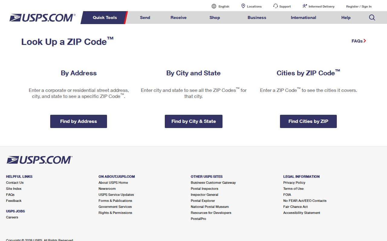
Postal confirmation is the first check. Parcel, ownership, recorded-document, and municipal questions require the next local record in the chain.