
Greenville County Neighbors by Parcel
For an immediate Greenville County block, the public trail begins with parcel boundaries and selected property-report fields. A map buffer can identify nearby parcels, Real Property Services can supply tax-roll leads, and ROD documents can explain adjoining land or easement references. The record is about land administration and named record parties. It is not a roll of everyone living around the starting address.
| Source | What It Shows About a Block | Access |
|---|---|---|
| GIS parcel and buffer | Nearby boundaries, selected Property Report fields, City-limit, flood, zoning, and related map context | Public mapping tools; no occupant roster |
| Real Property street search | Parcels and listed owners tied to a street term | Public property search; no ZIP or household browse |
| ROD deed or plat | Recorded parties, legal descriptions, plats, and easement leads | Property bridge, then public ROD route |
| Tax record | Tax status and taxpayer name in the relevant result or list | Tax administration context, not residency proof |
| Voter system | Personal self lookup or a formal state list product | No open nearby-address viewer; restrictions apply |
| Neighborhood organizations | Published community geography when available | No verified City or County membership directory |
Keep each source in its lane. A listed owner can have a different mailing address from the parcel’s situs, and a deed party may be historical. Those facts can guide further research but do not identify all nearby occupants.
Map Greenville County Neighbors Nearby
Greenville County Maps documents a practical adjacent-parcel method. Search or click the starting parcel, choose Select on Map, pick a point, line, polygon, current view, or all-selection method, then add a buffer distance. Its guide illustrates a 100-foot point buffer selecting a center parcel and parcels to either side, and a 250-foot buffer around selected parcels. The selected list can be expanded, individually zoomed, exported to CSV, or sent to Avery label output.
- Locate the initial address or parcel and open its Property Report.
- Save the PIN, situs, selected date, and map layer used before expanding the search.
- Use Select on Map with an appropriate buffer, then review each selected parcel rather than treating the circle as a social boundary.
- Open a parcel report for ownership, deed, or plat leads, and use ROD only after that property bridge.
Community Info can add tax-parcel data, zoning, City limits, flood-management, voter-information, schools, places of interest, census, and geodetic-control categories. The selected boundary still shows geography, not a hidden household list.
The Greenville County GIS platform is the published map-system entry point.
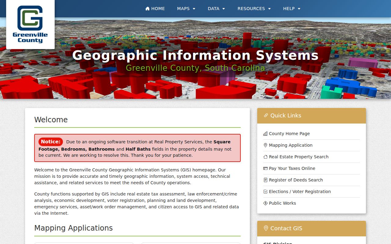
The mapping system supplies a reproducible parcel selection when the search date and active layers are recorded with the result.
Greenville County Parcel Report Leads
A GIS Property Report can display a PIN or tax map number, owner or additional-owner labels, care-of information, mailing address, acreage, legal or property description, location or situs, subdivision, deed book/page/date, plat book/page, land use, jurisdiction, and homestead code. Linked tools can expose ownership history and assessment history, with assessment history beginning in 1998. Those fields help separate the parcel’s location from an owner’s correspondence address.
The County’s own disclaimer says map and parcel data are not a title search, appraisal, survey, or zoning verification. Treat a report as a source of citations. Retrieve the recorded instrument when a land claim matters, and confirm disputed facts with the responsible office.
Greenville County Block Boundaries
Map proximity and shared jurisdiction are different things. An address at the City and County edge can sit near a parcel in another municipal area, ZIP area, special district, or assessor-map boundary. County Maps can show City limits as a separate layer, while a street centerline’s ZIP value reflects postal routing and the Property Report reflects parcel administration. Leave the relevant layer on while deciding which boundary question is being answered.
The GIS guide gives a useful example: one intersection can return results in both 29607 and 29615. That result does not create a single neighborhood or City boundary. The County geocoder and parcel map resolve location; USPS resolves mailing ZIP; a ROD document resolves a land reference.
Greenville City Community Geography
The City of Greenville Neighborhood Associations page says the City has many active and engaged associations. Its inspected public page does not publish a name, contact, or member directory. The City’s neighborhood mapping material identifies planning areas, which are useful geographic references but not association rosters. That absence is important when evaluating a claimed community contact or membership list.
| Published resource | Useful fact | Not established by the research |
|---|---|---|
| City neighborhood-associations page | Many active and engaged associations are recognized | A public association, HOA, member, or contact directory |
| Neighborhood maps and master plans | Planning areas include Brutontown, Greater Sullivan, Green Avenue, Greenline-Spartanburg, Haynie-Sirrine, Nicholtown, Pleasant Valley, Southern Side, Sterling, Viola Street, and West End | Countywide block membership or a consented contact list |
| County and City public sources | Geography can be checked by map layer and parcel | A unified Greenville County neighborhood roster |
Do not infer a member list from a map name or a nearby parcel. For a community question, use the published geography and seek any contact through the organization’s own public channel.
The City neighborhood-associations page is the image source for the public civic reference.
The public page confirms community activity while preserving the distinction between a geographic reference and a directory of people.
Greenville County Voter Limits
South Carolina does not publish an open block-voter viewer through MySCVotes. The official individual route requires county, first name, last name, date of birth, and the last four digits of a Social Security number. It serves protected self lookup for registration, polling place, sample ballot, absentee or provisional information, and voting history. It cannot be used to browse everyone at nearby addresses.
The State Election Commission has a separate voter-list sales route for an eligible registered South Carolina voter. Its criteria can combine county, voting district, age, sex, race, household, participation, registration date, and related election filters. The product does not disclose ballot selections. The state warns against commercial solicitation using personal information from a public body, and Greenville County says Social Security numbers supplied to the registration office are confidential and never published on a voter-registration list.
Compare Greenville County Block Sources
Official records and commercial block-lookup products are different categories. A commercial product can compile parcel data, estimates, and stale address information. It may be a lead, but it is not a substitute for a current County map, property report, or recorded document. Keep the source date and the kind of record visible when comparing results.
| Record category | Best use around a block | Limit to keep in view |
|---|---|---|
| County GIS and Real Property | Confirm parcel geometry, map identifiers, owner labels, situs, and assessment or deed leads | Not title proof or a complete occupant list |
| ROD deed and plat records | Check recorded parties, legal descriptions, plats, and easement references | Recorded parties may not be current nearby residents |
| Commercial block products | Consider only as an unverified lead | Can be stale, incomplete, or combine people with similar names |
When the question becomes a whole named street rather than the immediate block, use the Greenville County street directory for the full address-to-deed workflow.
Greenville County Tax Context
The Greenville County Tax Collector provides a related administrative channel. Its online-tax result layout includes name, receipt number, map or SID, permit number, district, exemption, delinquency, assessment, paid date, base, amount paid, and balance. A tax-sale list identifies map number, defaulting taxpayer name, and amount. These are dated parcel and tax facts, not a present-residency finding.
Use tax material to verify the parcel identity or understand a recorded financial event. Do not use it to fill in household composition.
The Tax Collector page is the source for this County administrative channel.
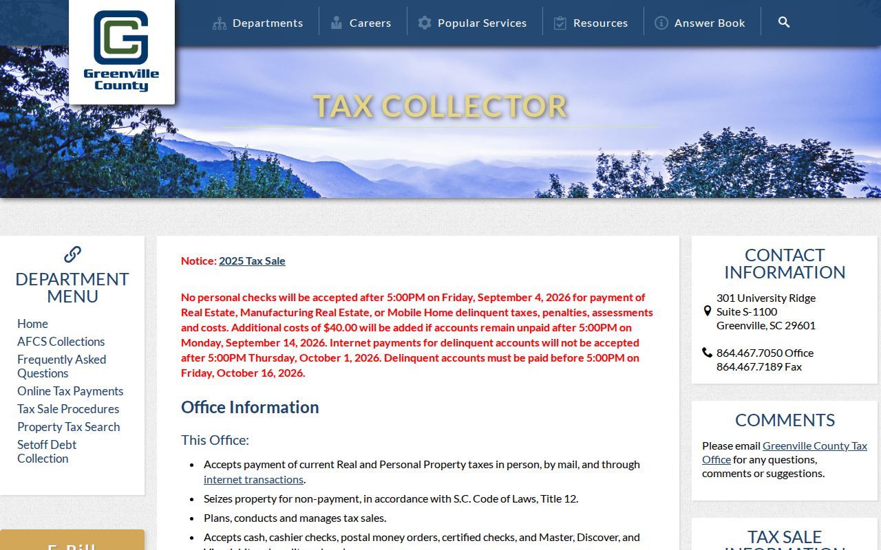
The County channel keeps tax context tied to a parcel and a record date instead of presenting it as a directory of nearby people.
Greenville County Parcel Events
A tax-sale record is another narrow parcel event. The County tax-sale FAQ says the list identifies the map number, defaulting taxpayer name, and amount, and it describes a one-year-and-one-day redemption period with a quarterly rate. That information can help match a map number to a dated tax proceeding, but it should not be turned into a current address or relationship claim.
The County Tax Sale FAQ supplies the published context for the screenshot.
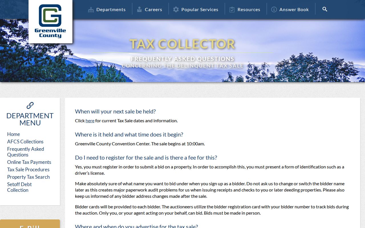
Use the map number and record date to check the underlying parcel, then confirm later changes through the property roll, GIS history, or ROD.
Greenville County Mapping Transition
Greenville County launched a new GIS mapping application in February 2026 while retaining the older system in transition. A saved search should therefore include the map date, the application used, the parcel PIN, and the active layer. Those details allow a later researcher to reproduce the selection even if a display control or result layout changes.
For an older address, compare current parcel geometry with the legal description, recorded plat, and dated map context. Map proximity now does not prove that the same boundary or jurisdiction label applied in an earlier period.
Greenville County Block Privacy Limits
Parcel mapping does not overcome privacy rules. Renter names, household composition, utility and delivery data, motor-vehicle addresses, protected court records, juvenile and adoption material, and vital certificates inside their access periods are outside the block method. A resident can request correction of a Real Property owner mailing address, update voter registration through the appropriate office, or use the Clerk or ROD identifier-redaction process for listed sensitive numbers in an online image. That redaction path does not remove names, property ownership, or court entries generally.
South Carolina’s FOIA permits withholding where disclosure would be an unreasonable invasion of personal privacy. For a public-body records request, identify the custodian, record, date span, format, and delivery method. Expect lawful redaction when it applies rather than assuming an entire file must be released.
Lawful use. Use Greenville County block records only for lawful personal, family-history, civic, or consumer-safety research, never to monitor, stalk, harass, intimidate, or harm another person.