
Greenville County Street Directory Route
Use the local chain in order: address → owner → deed → voter channel → criss-cross directory. Greenville County Real Property Search accepts a street term, while County Maps is the stronger route for an exact address or intersection. From the matching parcel, record the owner label, PIN or tax map number, situs, deed citation, and legal description. That creates a durable bridge into the Register of Deeds rather than assuming a deed system accepts a street address.
- Address: Search a street in Real Property Services, or use County Maps for the exact address, street, or intersection.
- Owner: Open the parcel report and preserve the owner label, PIN, situs, subdivision, and deed book/page lead.
- Deed: Search the Register of Deeds by party name, book/page, instrument number, or legal description to reach the recorded document.
- Voter: Do not expect a street roster. MySCVotes is protected self lookup; the formal state list route has eligibility and use rules.
- Criss-cross: For a past address association, request the correct South Carolina Room directory year or City Block Book and compare it to parcel and deed evidence.
The result is a record trail, not a claim about every person at an address. For a complete named-street chain, work each parcel separately and retain the search date with each cited record.
Greenville County Street Search Fields
Greenville County Real Property Search is the street-directory starting point for the property roll. Select the tax year first. The form offers more than a single street box, so a researcher can move from a street result to a named owner, a 13-digit map number, a subdivision, or a sales-sheet number without changing systems. Its displayed form has no ZIP input and no direct street-number field, which is why exact-address work shifts to County Maps.
| Real Property field | Input | How it helps by street |
|---|---|---|
| Select Tax Year | Required dropdown | Sets the property-roll year before a query. |
| Enter Street | Optional text | Returns street-oriented property leads. |
| Enter Name | Optional text | Uses last-name-first style, such as Smith William. |
| Enter Map No. | Optional text | Accepts a 13-digit map number for a known parcel. |
| Subdivision or Sales Sheet | Optional text | Offers alternate parcel paths when a street name is broad. |
The separate voided-property-card lookup is map-number based. The department warns that a software transition can leave displayed square-footage and room-count fields out of date, so use those physical details cautiously and ask the custodian to confirm a disputed fact.
County Maps Along a Greenville Street
Greenville County Maps has predictive general search for owner name, PIN, address, subdivision, and place terms. Its Find Address, Street, or Intersection control accepts an address or two street names separated by “and.” The dedicated Tax Parcel Site Address Street mode is the local street-wide parcel tool. A result can then lead to the Property Report, ownership history, assessment history, and deed or plat references.
Map selection is broader than a single click. The GIS guide documents point, line, polygon, current-view, and all-selection modes, plus an optional buffer. Use the map as a parcel and geography tool. The County explicitly says its parcel data are not a title search, survey, appraisal, or zoning verification.
Greenville County Records by Address
Different Greenville County records hold different pieces of a street question. The property roll and GIS report establish the parcel framework. Recorded deeds and plats identify land-document parties and legal references. Tax, permit, and code material can provide dated administrative context. None of those systems is a public household roster, so the limits in the final column matter as much as the lead.
| Record Set | Keeper | What It Shows | Access |
|---|---|---|---|
| Property card / tax roll | Real Property Services | Owner, mailing and situs distinction, PIN, assessment, legal-description leads | Property form or assessor counter, Suite S-1000 |
| GIS parcel report | County GIS | Geometry, owner and assessment history, deed and plat citations | County Maps or GIS office, Suite N-3000 |
| Recorded deed or plat | Register of Deeds | Named parties, legal description, book/page, instrument, recordation | Web, office, phone, mail, or e-certification |
| Tax information | Tax Collector | Receipt, assessment, payment, and map-number context | Tax portal or collector counter |
| Permit or code item | Building Safety or Code Enforcement | Property work or observable-condition event when accessible | eTRAKiT, reports, E-Service, or custodian |
A PIN or map number connects the roll to GIS and tax material; deed book/page and legal description connect it to ROD. The name trail should be kept separate from a conclusion that a recorded owner lived at the parcel.
Deed Chain on a Greenville County Street
The Register of Deeds search is a party and document index, not the first place to enter an address. After the property roll identifies an owner, use the post-1985 interface as Guest, accept its disclaimer, choose All Names, Instrument Number, Book-Page, or Legal Description Search, and add a document-type filter when useful. For pre-1985 research, use the grantor or grantee index, date range, surname initial, index file, and then book/page.
A grantee is the party receiving an interest. A grantor is the party transferring it. The current owner’s acquisition can identify the earlier party, who can be searched as a prior grantee. Repeat the book/page movement while preserving the legal description. When a modern street number is absent, that description or a plat keeps the same land in view.
For the address-first handoff, see the ROD address-search FAQ.
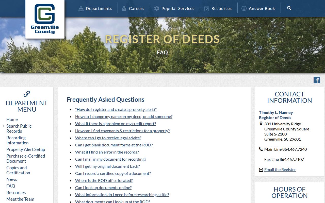
The FAQ directs an address-only searcher to Real Property Services for the owner name, which is the key local step before entering the deed index.
Greenville County Street Address Terms
Address records become clearer when their labels are not treated as synonyms. A parcel can have a physical location, a correspondence destination, and a land description at the same time. The street directory process uses each for a different purpose.
- Parcel
- A defined tract shown on the tax map and commonly identified by a PIN or tax map number.
- Situs address
- The physical property location shown in the GIS report, rather than the owner’s mailing destination.
- Plat
- A recorded map that can connect a lot, block, subdivision, or boundary to a deed description.
- Criss-cross directory
- A reverse address directory used to locate historical address-name associations for a particular volume or year.
A Greenville mailing address can differ from the situs, and the County’s legal-residence assessment ratio is only a tax classification. Neither fact proves a complete current household.
Greenville County Street Permit Leads
Greenville County Building Safety uses eTRAKiT for permit applications. The dashboard labels public modules for permits, zoning, property, complaints, licenses, and maps of active work or cases. It also publishes historical new-home permit reports for 2015-2017, 2018-2020, and 2021-2023. During the research inspection, a direct permit search redirected to public-account login, so no unverified result fields should be promised.
Use a permit as a dated property-work lead. It may help explain when activity occurred at a parcel, but it does not establish who lived there.
The eTRAKiT portal is the published online starting point.
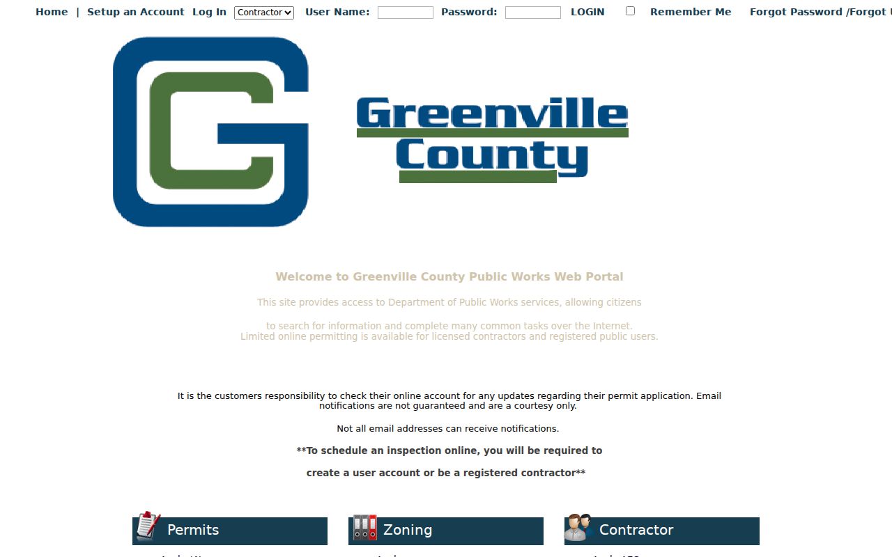
The visible module choices make it useful for locating the right custodian channel, even when an individual result is account-gated.
Greenville County Street Code Records
County Code Enforcement handles environmental control, junkyards, nuisance signs, and substandard-property maintenance. It takes a specific address for an observable-from-public-view report and does not accept anonymous complaints. Its published channels include online E-Service Request, 864-467-7090, and Suite S-3100 at 301 University Ridge. An Unfit Structure Search exists, but its field inventory was not captured.
A code record can describe an address-specific report or action, not a person’s presence. Keep the record date and office source with any result.
The County Code Enforcement page shows the reported public contact route.
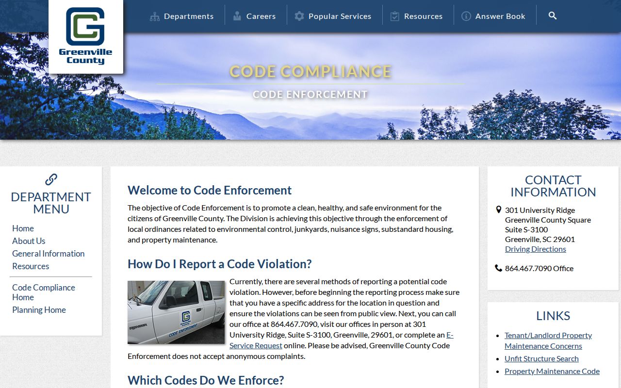
That channel is useful when a street question is really about a documented property condition rather than ownership or occupancy.
Greenville County Street Building Channels
For a County parcel, Building Safety, eTRAKiT, published permit reports, and the counter are distinct access routes. A City permit page can cover a City process, but research did not verify a public person-or-address search there. Direct requests should name the address, date span, and record sought rather than treating every permit system as a street directory.
The Building Safety page provides the County’s published permit entry point.
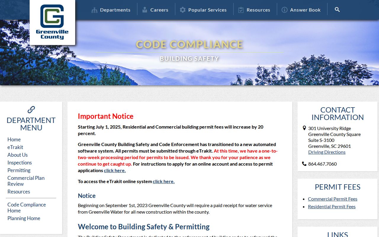
When online fields are incomplete or access is gated, the County office and a precise FOIA request are the documented fallback channels.
Greenville County Street Directory History
Historic address work belongs to the South Carolina Room’s reverse and block resources, not to a modern parcel search alone. Greenville has Data Axle/InfoUSA reverse or cross-search directories from 2007, City Block Book microfiche for 1923/1924, and Greenville County Historical Society city directories spanning 1883-2008. The public research did not inspect a printed reverse-directory page, so column labels and continuous coverage should not be assumed.
Reserve a South Carolina Room appointment or request the exact year. Compare an address-name result with the parcel, deed, and legal description for the same period. The historical volumes are a complementary route, not proof of ownership.
Greenville County Street Geography
A street result can cross postal or municipal lines. The GIS guide gives an intersection example that returns results in both 29607 and 29615. County Maps and the County geocoder can resolve the address, while the static ZIP map is only general reference. A Greenville postal-city label does not itself establish City of Greenville jurisdiction or a single continuous neighborhood.
For a mailing question, validate the complete address through the USPS ZIP lookup. For parcel administration, use the GIS layer and Property Report. Keep City limits, ZIP routing, and County parcel geography as separate facts.
Greenville County’s Early Deed Trail
Greenville’s unusually early land index is useful only when it is read as a series-specific source. ROD publishes grantor, grantee, mortgagee, and mortgagor indexing from 1787 forward, with reconstructed Deed Index A for 1787-1789 and Land Grant Index Book B for 1785-1787. Published image series include deeds from 1787, plats from 1903, mortgages from 1919, liens from 1955, and miscellaneous documents from 1973.
Early localities also have shifting labels. Greenville County was part of Washington District with Pendleton from 1791 through 1800, and Pleasantburg was renamed Greenville in 1831. Search the time-appropriate locality term and the named record series rather than assuming one modern label or one complete database.
Greenville County Street Search Limits
A street directory can connect public parcel, deed, and dated administrative records. It cannot name every current household member. Owner labels, owner mailing addresses, and a legal-residence classification are not proof of a complete household. Renter names, utility accounts, delivery records, motor-vehicle addresses, protected court files, and vital records inside their access periods are not exposed through this property workflow.
MySCVotes requires a county, name, date of birth, and the last four Social Security digits for individual access. It is not an open street browser. State voter-list products have eligibility conditions and restrictions, including the ban on commercial solicitation using personal information from a public body.
Lawful use. Use Greenville County address records for lawful personal, family-history, heir, consumer-safety, or civic research, never to stalk, harass, intimidate, or harm another person.